BIODIVERSITY-CULTURAL CONNECTION
Physical Map of Egypt:
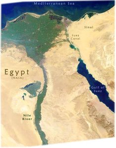
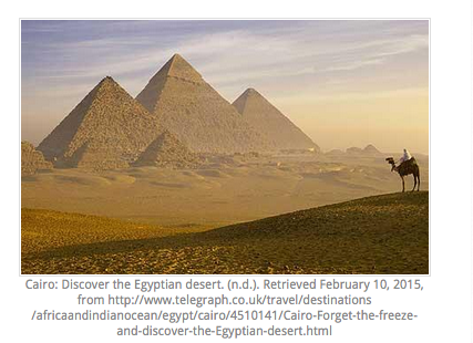
This map shows the physical features of Egypt. As you can tell, Egypt is mostly covered in Desert, with the Nile River running through it to the Mediterranean Sea.
Images of Egypt - Sinai, Suez Canal, Nile River. (n.d.). Retrieved February 10, 2015, from http://www.geographicguide.com/africa-maps/egypt-images.htm
|
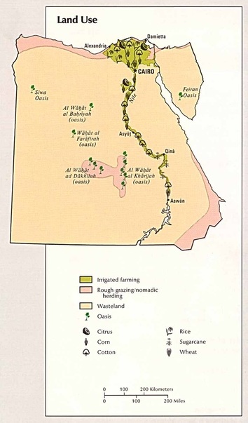
(n.d.). Retrieved February 10, 2015, from http://www.mapcruzin.com/free-maps-thematic/egypt_land.jpg
This map shows what certain parts of the country's land is used for.
|
Political map of egypT:
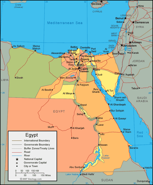
This is a political map of Egypt. It shows boundaries and treaty lines.
(n.d.). Retrieved February 10, 2015, from http://geology.com/world/egypt-map.gif
|
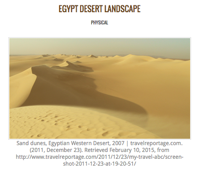
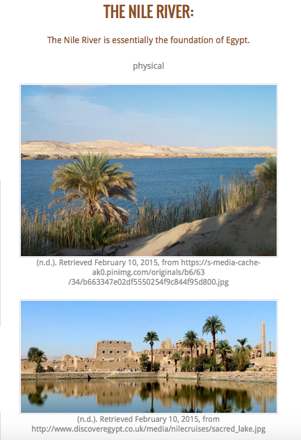
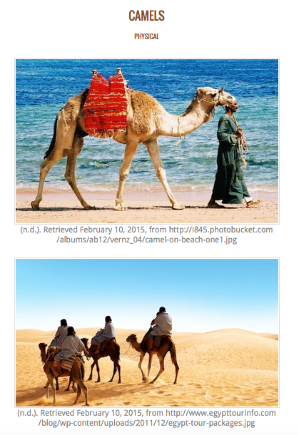
Physical Landscapes
|
|
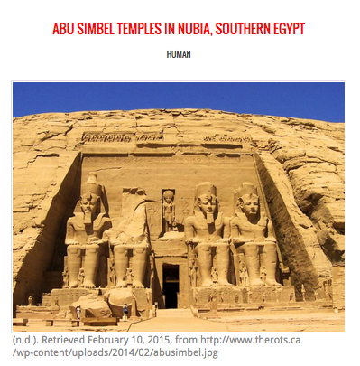
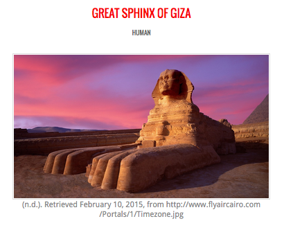
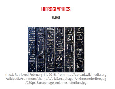
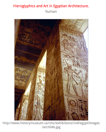
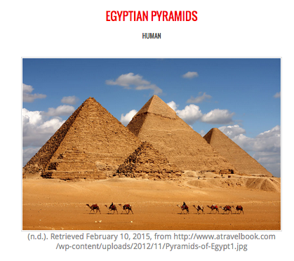
Human Characteristics:
|
|
